Welcome to Taranis Air, a women-owned, FAA Part 107-certified drone service provider based in Teller County, Colorado.

We deliver innovative, high-quality aerial solutions tailored for ranchers, landowners, businesses, and personal projects across Teller, Park, Douglas, Elbert, El Paso, Chaffee, and Pueblo Counties.

Our expert team leverages cutting-edge drone technology to streamline property management and infrastructure inspections, saving you time, reducing costs, and enhancing efficiency. From precision agriculture and land monitoring to aerial photography, roofing inspections, cell tower assessments, and custom projects, our services are designed to meet your unique needs with professionalism and local expertise.

Contact Taranis Air today to elevate your property management and inspection processes with reliable, customized drone solutions.

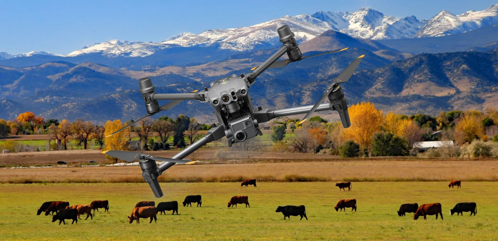
Ranch and Land Owners
Aerial Property Inspections: High-resolution imagery and 3D mapping to monitor land, fences, and infrastructure for quick, accurate assessments.

•Livestock Monitoring: Track cattle and wildlife with thermal imaging, reducing labor and ensuring animal health without disturbing herds.

•Vegetation & Crop Analysis: Identify irrigation issues, soil health, or invasive species with advanced analytics to boost productivity.

•Fence & Boundary Inspections: Detect damage or encroachments efficiently, covering vast areas without costly manual checks.

•Wildfire Risk Assessment: Map vegetation near structures to mitigate fire risks, critical in Teller County’s dry climate.
Solar and Cell Tower Inspections
Taranis Air Drone Services for Solar and Cell Tower Inspections

•High-Resolution Imaging: Captures detailed photos and videos for solar panel and cell tower assessments.

•Thermal Imaging: Detects heat anomalies, faulty cells, or equipment issues in solar farms and cell towers.

•3D Mapping and Modeling: Creates precise 3D models for structural analysis and planning.

•Safety-Focused Inspections: Reduces risks by eliminating manual climbs or hazardous access.

•Real-Time Data Collection: Provides immediate insights for efficient maintenance decisions

•FAA-Compliant Operations: Ensures safe, certified drone flights adhering to regulations.

•Customized Inspection Plans: Tailored to solar farm or cell tower needs for optimal results.
Roof Inspections
High-Resolution Aerial Imaging: Captures detailed photos and videos to assess roof conditions.

•Thermal Imaging: Detects heat leaks, moisture intrusion, and insulation issues.

•Comprehensive Roof Reports: Provides detailed analysis of roof damage, wear, or defects.

•3D Modeling and Mapping: Creates accurate 3D models and measurements for precise assessments.

•Safety-Focused Inspections: Eliminates the need for manual climbing, reducing risks.

•Real-Time Data Analysis: Offers immediate insights for quick decision-making.

•Customized Inspection Plans: Tailored to residential, commercial, or construction needs.
Let Taranis Air elevate your ranch or land management with fast, reliable, and innovative drone solutions.


Contact us at Taranisair1@gmail.com or (719) 217-9329 to schedule a consultation and see how we can help your property thrive!